

Construction 3D Virtual Tours, As-Built Scans & BIM Digital Twins
Reduce site visits and clash errors. Millimeter-accurate Matterport point cloud scans, E57 files, and 3D digital twins for construction and architecture

Remote site monitoring and as-built documentation
Managing a construction site means dealing with constant updates, remote teams and complex coordination. Relying on scattered photographs or outdated 2D drawings often leads to costly mistakes and delays. A 3D digital twin captures the exact physical reality of your site at any stage of the build. It allows principal contractors, architects and stakeholders to walk the site remotely, take precise measurements and visually verify progress without ever putting on a hard hat.
As you can see from the example above, having a fully navigable 3D model brings the site directly to the office. This visual clarity eliminates miscommunication between contractors and the design team. Whether you need to document pre-pour conditions, verify MEP installations or export point cloud data for your BIM models, our scanning services provide the exact spatial data you need to keep your project on track and under budget.Utilise industry-leading 3D scanning technology to capture your site at every critical milestone. Provide your architects, engineers, and project managers with immersive remote access to verify dimensions, conduct visual inspections, and extract raw E57 point cloud data for seamless integration into Revit, AutoCAD, and Navisworks.
How 3D scanning accelerates construction projects
We provide the precise spatial data principal contractors and architects need to reduce errors and streamline project delivery.
Reduce costly site visits and travel time
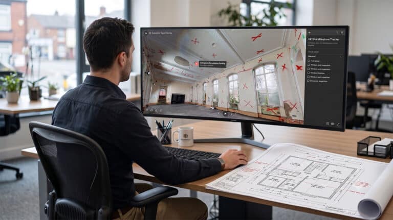
Getting the whole team to site for a quick visual inspection wastes hours of travel time and holds up progress. A construction virtual tour lets your quantity surveyors, engineers and clients inspect the site remotely. They can navigate the 3D space, add digital notes to specific areas and resolve design clashes instantly from their desks.
Accurate as-built documentation
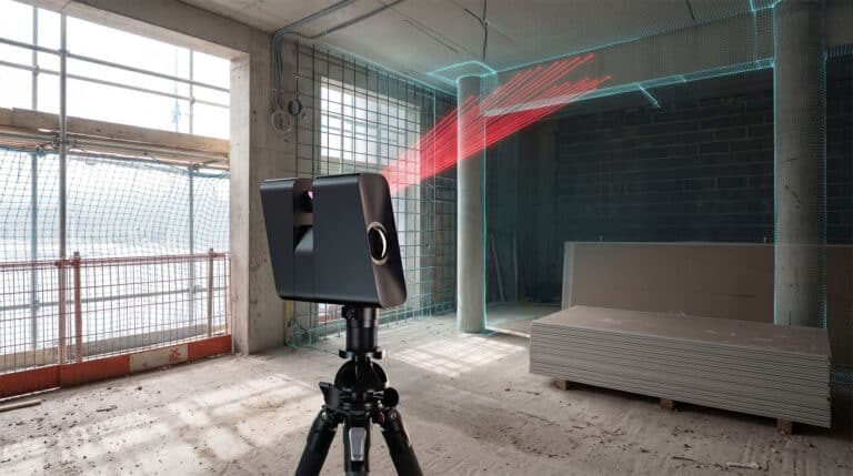
Documenting hidden MEP systems before the drywall goes up saves thousands of pounds in future rework. We capture your site at key milestones to create a permanent, time-stamped visual record of the build. This data is vital for facilities management handover, maintenance planning and dispute resolution down the line.
Seamless point cloud and BIM integration
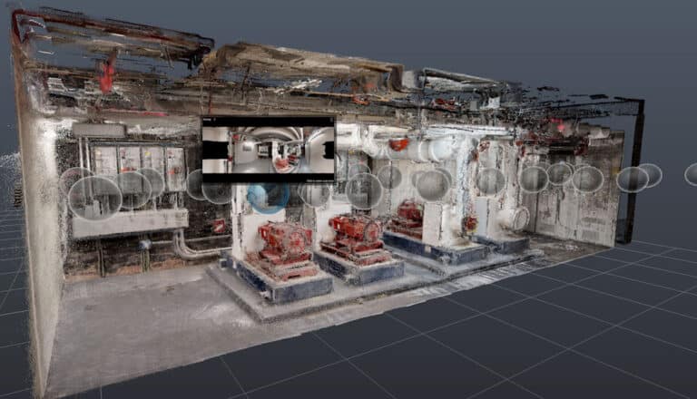
Standard photographs are useless for CAD modelling. We capture high density spatial data that can be exported directly as E57 point clouds or OBJ files. Your architects and structural engineers can import this data straight into Revit or AutoCAD to compare the physical build against the original design models.


3D spatial data for the entire project lifecycle
Our scanning services support every stage of the build process from initial design to final handover.
Architects & Designers
Kick off your renovation projects with accurate spatial data. We capture the existing building conditions so your team can design with confidence and avoid nasty surprises during the strip out phase.

Principal Contractors & Site Managers
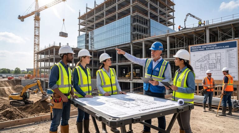
Keep a tight grip on site progress and health and safety. Conduct remote site inductions, coordinate subcontractors visually and keep remote stakeholders updated with regular 3D walkthroughs.
MEP & Structural Engineers
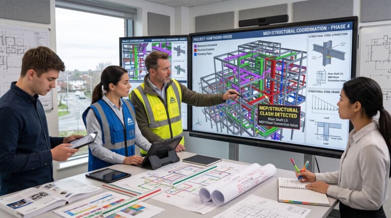
Spot clashes early. Use our highly accurate point cloud data to verify that pipework, HVAC systems and structural elements are installed exactly where they should be before they are covered up.
Facilities Management (FM)
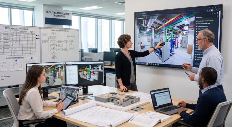
Hand over more than just a physical binder of manuals. Provide the new building owner with an interactive 3D digital twin of their asset, complete with embedded equipment tags, maintenance schedules, and warranty links for long-term operational efficiency.


Technical data delivered straight to your workflow
We do not just provide a visual walkthrough. One scan delivers a comprehensive package of technical assets ready for your CAD software and project management tools.
E57 Point Clouds, BIM Files & Floor Plans
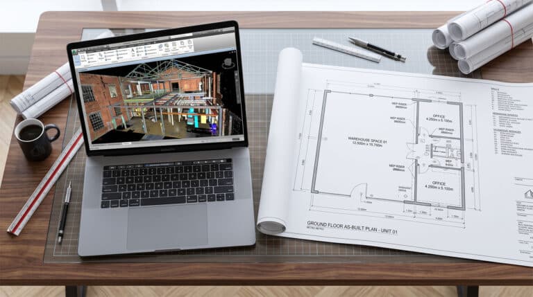
We deliver the heavy-lifting data your technical teams require. From a single scan, receive high-density E57 point clouds, structured OBJ files for CAD integration, and highly accurate schematic floor plans. By eliminating the need for manual surveying, you dramatically accelerate your team's ability to model, design, and verify the physical site.
4K Inspection Stills & Interactive Walkthroughs
Beyond the raw CAD data, we equip your project managers with high-resolution visual tools. Our platform allows you to extract 4K inspection photography from any angle within the digital twin. Coupled with the interactive 3D walkthrough, your team can annotate issues, generate PDF punch lists (snagging), and share visual updates instantly with remote stakeholders.


Fast, Safe, and Accurate Site Deployment
Construction sites are hazardous, high-pressure environments where time is money. Our deployment process is strictly risk-assessed, highly efficient, and designed to capture maximum data with minimal interference to your active workforce
Step 1: Scope & Risk Assessment (RAMS)
We collaborate with your site management team to define the critical capture areas, understand site-specific hazards, and provide comprehensive RAMS (Risk Assessments and Method Statements) prior to deployment.
Step 2: Rapid & Unobtrusive 3D Capture
We deploy our enterprise-grade 3D scanning equipment to capture the entire designated area swiftly and comprehensively. Understanding that active sites, university campuses, and commercial properties cannot afford downtime, we operate with the absolute minimum of hassle. We can easily accommodate your schedule, including working out-of-hours or during weekends, to ensure zero disruption to your daily operations or ongoing renovations.
Step 3: Processing & Asset Delivery
The raw data is processed into an immersive 3D walkthrough. We extract your requested E57 point clouds, schematic plans, and high-resolution imagery, delivering a complete digital data pack ready for immediate integration into your workflows.
See our recent construction and BIM projects
Take a look at how principal contractors and architects across the UK are using our digital twins to streamline their workflows.
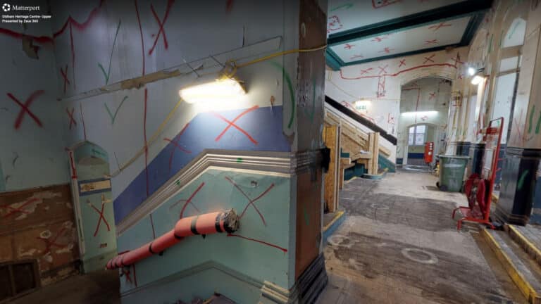
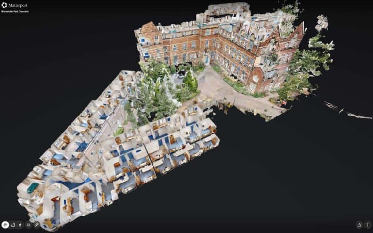
University of Edinburgh Estates | Pre-Renovation Matterport Pro3 LiDAR Spatial Capture
High-precision Matterport Pro3 LiDAR 3D spatial capture for the University of Edinburgh Estates Department across Riego Street, Warrender Park Crescent, and Sciennes.
 Matterport Tours
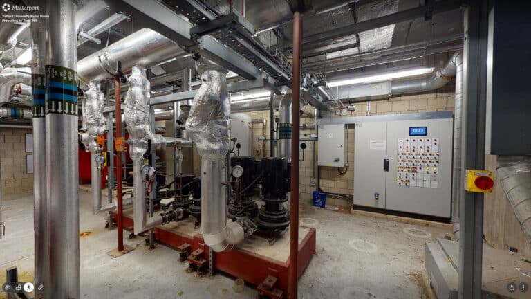
Salford University Boiler Room | Construction & BIM 3D Virtual Tour
Explore the Salford University boiler room through a 3D Matterport virtual tour captured for plantroom machinery installation, internal training, and BIM demonstration.
 Matterport Tours
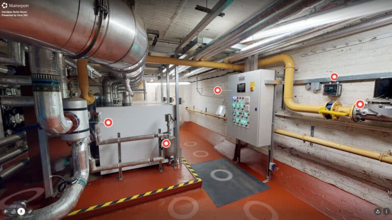
Varndean School Boiler Room | Construction & BIM 3D Virtual Tour
Explore the Varndean School boiler room in Brighton through a 3D Matterport virtual tour captured for plantroom machinery installation and BIM demonstration.
 Matterport Tours


Construction & BIM Data FAQs
Explore details on point cloud accuracy, E57 file exports, and capturing hidden pre-pour MEP infrastructure for facilities management. Get in touch to request a technical scanning quote.
Contact usWhat CAD and BIM file formats can be exported from a 3D site scan?
From a single site scan, we export high-density E57 point cloud files, 3D OBJ mesh files, and BIM-ready Revit (.RVT) or AutoCAD (.DWG) files for seamless integration into architectural software workflows.
How accurate are Matterport 3D spatial scans for site measurements?
Scans captured using commercial-grade Matterport Pro3 LiDAR hardware deliver dimensional accuracy within 0.5% to 1% under standard conditions, making them ideal for initial design surveys, clash detection, and checking as-built conditions against structural drawings.
How does 3D spatial capture help document pre-pour MEP installations?
By scanning a construction site at key milestones before drywall or concrete pours cover up internal MEP (mechanical, electrical, plumbing) infrastructure, you create a permanent, time-stamped 3D record. Facilities managers and contractors can refer back to this digital record years later to locate hidden wiring or pipework without destructive site opening.
Ready to bring your construction site online?
Stop relying on outdated photos and expensive site visits. Contact us today to arrange a site scan and get the accurate spatial data your project team needs.